



 For all latest news, follow the Daily Sun's Google News channel.


Russian-Chinese AI algorithm aims to improve earthquake forecasting
The research is still in the theoretical stage and has been validated through numerical simulations
Sputnik International
Published: 08 Jul 2026, 02:28 AM
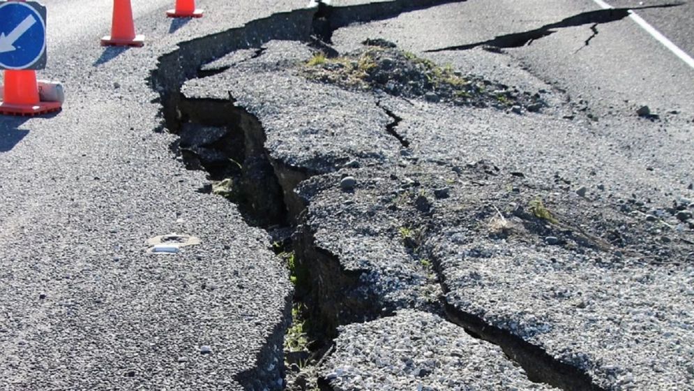
Photo: Collected
Researchers at Russia's Far Eastern Federal University (FEFU), with partners from China, have developed a new algorithm that could improve earthquake forecasting.
The computer programme enables more accurate mapping
of the Earth's crust while using much less computing power.
The findings were presented at the Solar-Terrestrial
Relations and Physics of Earthquake Precursors conference.
The main method of spotting earthquake signs is
based on monitoring sounds from deep within the Earth.
Increased tectonic activity is accompanied by
distinctive geoacoustic emissions—acoustic signals generated as underground
rock formations build up huge tectonic stress, FEFU researchers explained.
"Normally, intense man-made noise and
vibrations interfere with seismic observations," said Sergey Shevkun,
associate professor at FEFU's Polytechnic Institute and one of the developers
of the new programme.
"We propose using an anthropogenic source to
create additional seismic 'illumination' of a section of the Earth's crust,
allowing us to reveal its internal structure," he added.
"Changes in that structure may indicate
increasing seismic activity and could serve as one of the precursors of an
earthquake," Shevkun said.
The research team developed software that processes
seismic observation data using Physics-Informed Neural Networks (PINNs)
together with the Kolmogorov-Arnold Networks (KAN) neural network architecture.
"Traditionally, improving accuracy requires
increasing the number of observations," Shevkun said.
"Our method overcomes this limitation by
combining observational data with established physical laws governing processes
within the Earth's crust."
According to the researchers, the new approach
reduces the computational resources needed to process acoustic signals while
improving image resolution.
That makes it possible to analyse larger subsurface
volumes and generate more accurate 2D and 3D maps of geological structures.
The research is still in the theoretical stage and
has been validated through numerical simulations, which produced encouraging
results.
In the future, the technology could find
applications in seismic exploration for oil, gas, coal and mineral deposits, as
well as in assessing ground stability before the construction of major
infrastructure projects.
The study was supported by the Russian Ministry of
Science and Higher Education.