


 For all latest news, follow the Daily Sun's Google News channel.


PM orders nationwide earthquake preparedness drive
Pushes stricter building code enforcement; orders identification of vulnerable buildings
Daily Sun Report, Dhaka
Published: 03 Nov 2026, 12:00 AM
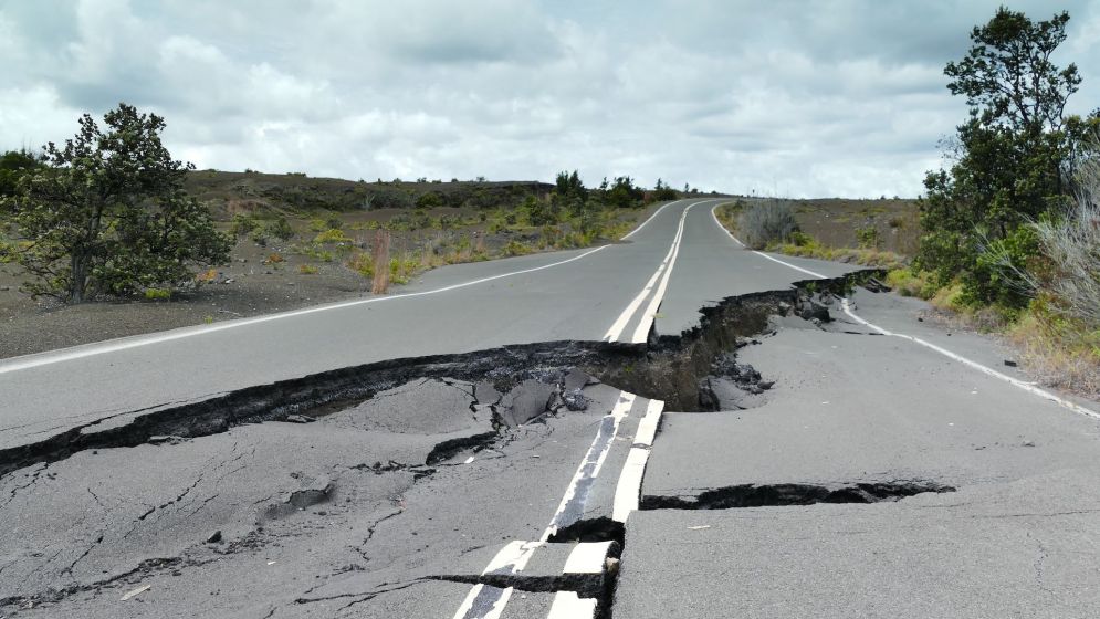
Representative Image
Prime Minister Tarique Rahman on Monday directed the authorities concerned to identify vulnerable buildings across the country, strengthen emergency response capabilities and take comprehensive measures to minimise casualties and damage in the event of a major earthquake.
He also called for strict enforcement of the Bangladesh National Building Code (BNBC), better coordination among government agencies and greater public awareness, with particular emphasis on Dhaka and other earthquake-prone areas.
The prime minister issued the directives at a meeting on earthquake preparedness and response at the Prime Minister’s Office at Bangladesh Secretariat.
He stressed effective coordination among the relevant ministries, local government institutions, Rajdhani Unnayan Kartripakkha (RAJUK), Fire Service and other emergency agencies to ensure a swift and coordinated response during an earthquake.
Tarique Rahman, also chairman of the ruling BNP, underscored the importance of protecting critical infrastructure, particularly hospitals and educational institutions, from potential earthquake damage.
He also called for ensuring adequate rescue equipment, providing specialised training to rescue workers and raising public awareness about earthquake risks and safety measures.
Disaster Management and Relief Minister Asadul Habib Dulu, State Minister for Local Government, Rural Development and Cooperatives Mir Shahe Alam, RAJUK Chairman Engineer Reazul Islam and senior officials from the relevant ministries and agencies attended the meeting.
The directives come amid growing concerns over Bangladesh’s vulnerability to major earthquakes, with rapid and unplanned urbanisation, poorly engineered high-rise buildings and widespread non-compliance with building codes increasing the potential for disaster.
According to the Bangladesh Meteorological Department’s earthquake observation centre, more than 100 earthquakes and tremors were recorded in the country during the first four months of 2026, of which 15 to 20 were reportedly felt by people.
A magnitude-5.4 earthquake on 27 February, with its epicentre in Assasuni, Satkhira, was among the year’s most significant seismic events.
Northeast faces highest seismic threat
Bangladesh’s northeastern region faces the country’s highest seismic hazard, while Dhaka remains vulnerable to potentially severe earthquake damage despite being classified as a moderate-risk zone.
Under the BNBC 2020, Bangladesh is divided into four seismic zones, ranging from low to very severe. Sylhet and Mymensingh fall under the highest-risk Zone 4, while Dhaka is classified as Zone 2, with a seismic zone coefficient of 0.20.
However, seismic classification alone does not capture the full extent of earthquake risk, which also depends on population density, building conditions, soil characteristics and emergency response capacity.
A separate research presentation at the Geological Society of America in 2025 identified Uttara, Turag, Pallabi, Darus Salam, Kafrul, Tejgaon, Rampura, Motijheel and Demra as areas requiring particular attention because of their potential vulnerability to soil liquefaction.
Soil liquefaction occurs when saturated soil loses strength during intense ground shaking, potentially undermining building foundations and damaging infrastructure.
A national earthquake risk assessment, prepared by the Ministry of Disaster Management and Relief in collaboration with the United Nations Office for Disaster Risk Reduction (UNDRR) and the Global Earthquake Model (GEM) Foundation, examines earthquake hazards and vulnerabilities at district and upazila levels.
It incorporates population and building exposure, infrastructure vulnerability and potential economic losses, drawing on census data, building inventories and probabilistic earthquake hazard modelling.