


 For all latest news, follow the Daily Sun's Google News channel.


Survey begins to officially determine Bangladesh’s highest mountain peak
The team will remain stationed in Thanchi and Ruma while conducting measurements of various hills in the surrounding areas
Daily Sun Report, Dhaka
Published: 04 Apr 2026, 06:34 PM
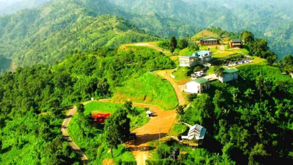
File Photo
An experienced survey team from the Survey of Bangladesh has begun fieldwork to officially determine the highest mountain peak in the country.
The survey activities will take place from 4-12 April
in the remote hill areas of Ruma and Thanchi upazilas in Bandarban district.
According to a press release issued on Saturday by
the Inter-Services Public Relation Directorate (ISPR), the survey aims to
measure several hills in the region to identify the highest peak.
The statement said the Survey of Bangladesh will
conduct the operation following international standards, using modern geodetic
methods and advanced Global Navigation Satellite System (GNSS) technology.
The objective is to accurately determine the
latitude, longitude, and mean sea level (MSL) height of the country’s highest
peak with centimetre-level precision.
The survey operation is being led by Brig Gen
Nur-e-Alam Mohammad Zobayer Sarwar, surveyor general of Bangladesh, under the
supervision of Debashish Sarker, acting deputy director (survey) and in-charge
of the Geodetic Detachment.
The team will remain stationed in Thanchi and Ruma
while conducting measurements of various hills in the surrounding areas.
Officials said that the recently developed Geoid
Model will enable accurate conversion of ellipsoid height obtained from GNSS
receivers into mean sea level (MSL) height.
The survey team will travel to remote locations in
Bandarban, including Thanchi, Remakri, Ruma, and Tindu, using modern equipment
such as dual-frequency GNSS receivers, RTK receivers, total stations, level
machines, GNSS CORS, and other advanced technologies to measure the heights of
mountain peaks.
It is expected that the survey conducted by the
Survey of Bangladesh will help resolve the long-standing debate over whether
Tajingdong, Keokradong, or Saka Haphong is the highest mountain peak in
Bangladesh.