


 For all latest news, follow the Daily Sun's Google News channel.


Satellites hold untapped potential for development
According to BSCL managing director and CEO Dr Muhammad Imadur Rahman

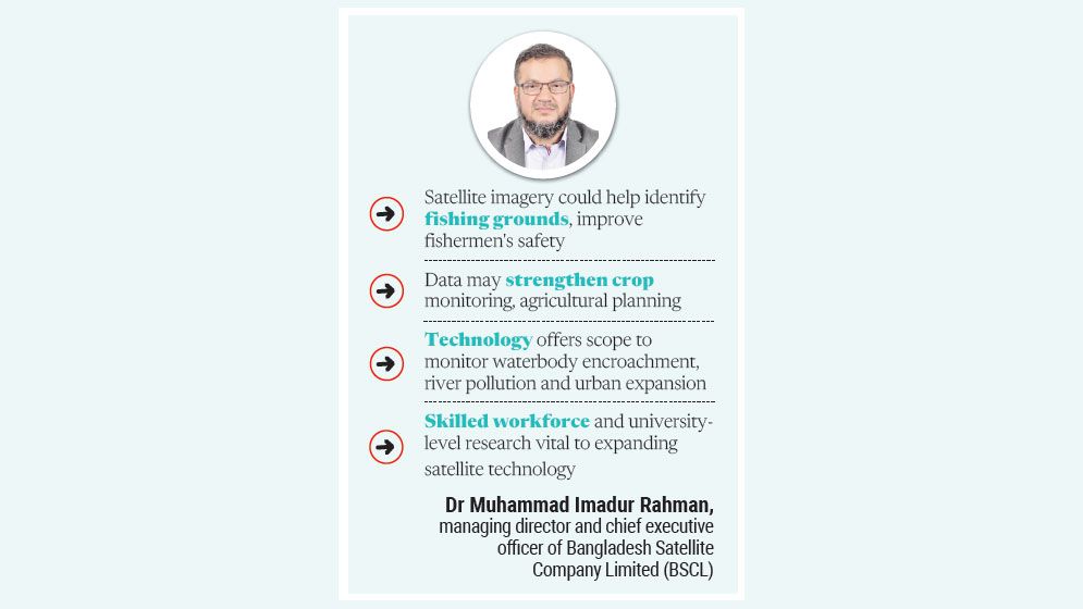
Bangladesh could unlock new opportunities in fisheries, agriculture, environmental conservation and urban planning by making greater use of satellite technology.
Satellite images and data could help the government and other stakeholders improve sectoral management, reduce costs and make more effective decisions, contributing to the country's economic development.
Dr Muhammad Imadur Rahman, managing director and chief executive officer of Bangladesh Satellite Company Limited (BSCL), made these observations in a recent interview with this correspondent.
He noted that space technology was not limited to exploration beyond Earth but could also play a significant role in addressing practical development challenges.
Satellite data could improve fishing and protect fishermen
According to local operators, mobile networks generally provide coverage up to around eight to 10 nautical miles offshore. However, fishermen often travel 10, 15 or even 20 nautical miles into the sea to catch hilsa and other marine fish, taking them beyond the reach of conventional mobile networks.
Imadur Rahman said satellite connectivity could help fishermen access timely weather forecasts and information about sea conditions, improving safety and reducing risks while fishing offshore.
He said satellite imagery could also be used to analyse plankton levels and other characteristics of seawater to estimate potential fishing grounds.
“Such information could help fishermen identify potential fishing grounds and reduce unnecessary journeys. The technology could also help identify areas where fishing should be restricted during particular seasons, allowing fish populations to grow and marine ecosystems to recover,” he said.
Citing Karnataka in India as an example, Imadur Rahman said satellite imagery was being used to help fishermen identify likely fishing locations. According to figures he cited, the state's fish production increased from around 660,000 tonnes in 2022–23 to around 1.55 million tonnes in 2023–24.
He said satellite-based information could help commercial fishing companies in Bangladesh reduce uncertainty, fuel consumption and operating costs, as vessels often travel long distances without knowing whether fish are available in a particular area.
Satellite tracking and GPS technology could also help fishermen avoid accidentally crossing into the maritime waters of neighbouring countries, including India and Myanmar, he said, adding that such incidents could lead to detention and hardship for fishermen and their families.
Satellite data could improve agricultural planning
Imadur Rahman said satellite imagery could strengthen crop monitoring and improve agricultural production estimates by providing information on cultivated areas and crop conditions.
He said satellite-based analysis could help identify areas affected by dry conditions, assess irrigation requirements and detect locations where pest infestations might be increasing.
Such information could help farmers and policymakers make timely decisions on irrigation, crop management and the allocation of agricultural resources, he added.
Identifying waterbody filling, river pollution and unplanned urbanisation
Satellite imagery could also support efforts to monitor unplanned urbanisation and the loss of water bodies and green spaces in Dhaka and other major cities, Imadur Rahman said.
He said satellite images from 2013, 2017, 2021 and 2024 could be compared to assess changes in water bodies and green spaces, as well as the expansion of buildings into previously open areas.
“Regular satellite monitoring could help authorities identify possible unauthorised land filling and development that violates approved plans. However, field inspections and documentary evidence would still be necessary to establish violations,” he said.
He added that satellite imagery could help identify changes in water bodies and potential pollution hotspots, including industrial areas around Keraniganj and the Buriganga River. Water sampling and laboratory tests, however, would be needed to confirm contamination.
Skilled workforce and research vital for satellite technology
Imadur Rahman stressed the need to develop skilled professionals and expand university-level education and research to make effective use of satellite technology.
He said professionals skilled in satellite image analysis, software and artificial intelligence could help analyse data across different sectors and improve decision-making.
He also emphasised the need for proper training, technical capacity and coordination among relevant institutions to expand the use of satellite technology.
Expanding space technology-related courses and research at universities could help increase its applications in fisheries, agriculture, environmental monitoring and urban planning, he said.
Effective use of satellite data could help Bangladesh manage natural resources, plan production and monitor environmental changes, creating new opportunities for economic activities and development planning, he added.